The Large Geospatial Model aims to connect the digital world to the physical world more seamlessly.
Pokémon GO developer Niantic is developing an AI model capable of predicting and recreating real-world locations, and using player location data to train it. In an official post published by Niantic last week (12 November), the company revealed that it was "building a Large Geospatial Model to achieve Spatial Intelligence."
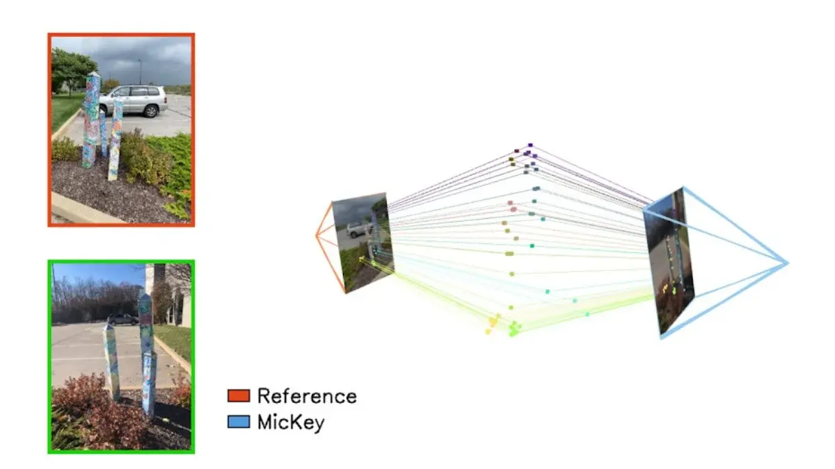
The post revealed that the company has been using large-scale machine learning to connect one scene to "millions of other scenes globally" while calling Spatial Intelligence the "next frontier of AI models."
"Large Geospatial Models will help computers perceive, comprehend, and navigate the physical world in a way that will seem equally advanced," they added. Simply put, the AI that Niantic has been working on is similar to ChatGPT's "Large Language Model." Instead of being trained with enormous amounts of existing text, the concept is "applied to the physical world."
To make educated guesses about the appearance of unfamiliar real-world places, it may use data on familiar locations like homes, parks, and churches as input.
What is a Large Geospatial Model?

Just like how tools like ChatGPT learn from large batches of text to understand and generate human-like language, the LGMs Niantic are building would be trained on millions of images from real-world locations to understand spaces.
Think of it this way: a regular map may show you where a particular park is, but a geospatial model should know where the park is and what its size is, how it looks like, where the trees and benches are, and how it connects with other locations in the map.
How is Pokémon GO related to all this?
For this to work, though, Niantic needs a lot of data to feed the AI model. Although Google Maps has been tracking users' locations for over a decade now, it wouldn't be enough – Niantic would also need to feed the model pedestrian information, and data on places cars can't reach. This is where games like Pokémon GO come in – Niantic gathers information from Pokémon GO players and other similar Niantic apps.
Niantic has been using its Visual Positioning System (VPS), which uses photos taken by users to create detailed 3D maps of real-world locations. According to Niantic, the VPS also allows our phones to pinpoint exact locations with "centimeter-level accuracy."
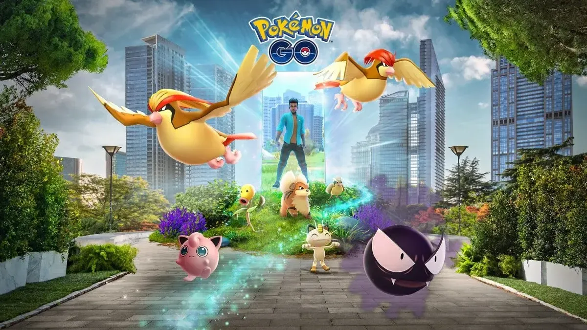
For example, Pokémon GO's experimental Pokémon Playgrounds lets users leave Pokémon at specific spots, where others can interact with them and take photos.
What makes Niantic's VPS unique?

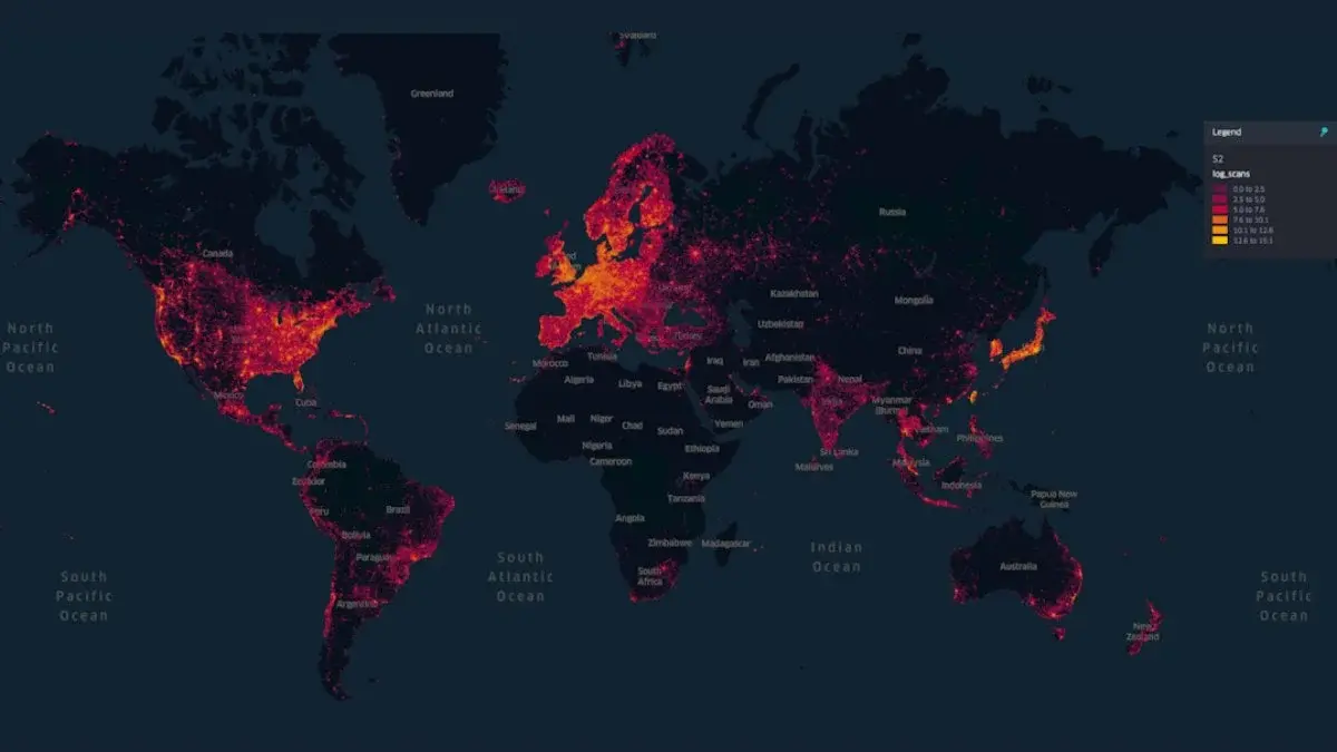
Aside from capturing places that cars or drones cannot access, the scans include different perspectives, lighting conditions and seasons. So far:
- 10 million locations have been scanned globally.
- 1 million locations are active on VPS.
- Players add 1 million fresh scans each week containing hundreds of images.
- Niantic also trains "advanced neural networks" or AI models that can learn and predict details about a location these models.
This is done by compressing thousands of images into lightweight neural data. So far, Niantic has trained 50 million neural networks with over 150 trillion parameters, creating a system that's as smart as it is massive.
What can the Large Geospatial Model be used for?
Aside from gaming, there are other potential uses for this AI. Currently, it's just a foundational model so it can power applications like:
- AR Glasses – that can easily blend digital and physical realities.
- Spatial planning – like designing new city layouts.
- Logistics – improving how goods can be delivered.
- Remote collaboration – allowing people to work virtually in shared real-world spaces. As AI evolves, Niantic sees the LGM as a bridge between physical and digital worlds.
While Niantic's work on Large Geospatial Models is far from over, building this new AI model has plenty of potential. From enhancing immersive gaming experiences to enabling cutting-edge and life-changing applications in urban planning and logistics, the LGMs could be the cornerstone for spatial computing.
"Niantic's goal remains to lead in the development of a large geospatial model that operates wherever we can deliver novel, fun, enriching experiences to our users," the company's post concluded. According to them, as more devices like AR glasses gain popularity, the future will rely on seamlessly merging physical and digital realities. They want to ensure that the LGM "will put people at the center."


